MDVIA — Innovative Spatial Solutions
Ground truthfor hard terrain.
Geo-information, geodesy and mapping for the upstream oil & gas industry — from land and aerial surveys to web GIS, delivered where maps end and the field begins.
- 40,000+ km²
- Orthophoto produced
- 6–50 cm/px
- Ground sample distance
- ±3 mm/km
- Precision leveling
- 4 continents
- Field operations
About — Who we are
MDVIA is a leader in the geo-information, geodesy and mapping market. Our products and services help clients streamline projects around the globe, with deep expertise in the upstream oil and gas industry.
MDVIA's approach merges respect for traditional knowledge and disciplines with the most recent technologies. MDVIA Ltd. and MDVIA (Angola) Lda. develop innovative tools that span geo-information management, land and aerial surveys, mapping and engineering — brought together as a tailored solution for each client.
Read about MDVIA →
Services — six disciplines
01/06
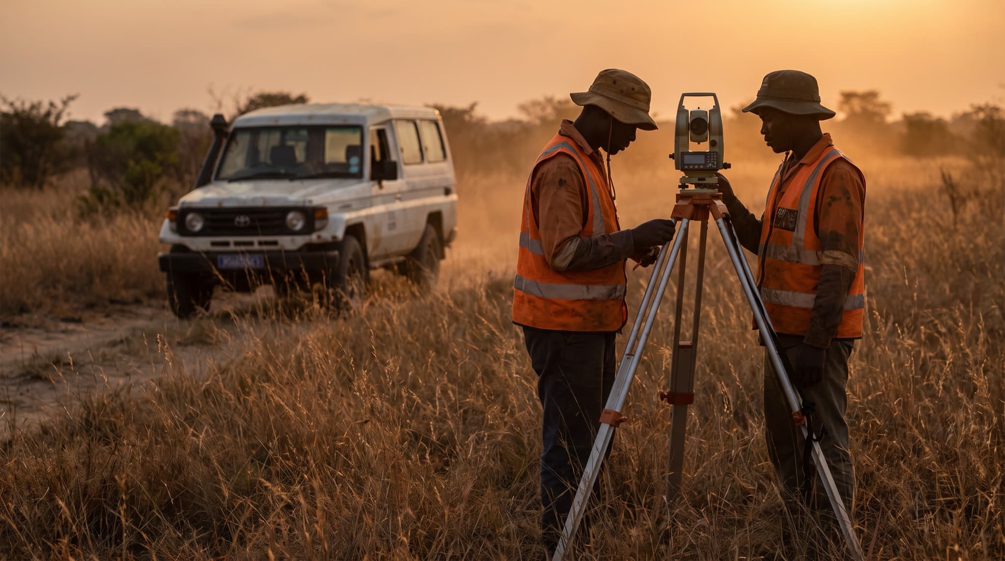
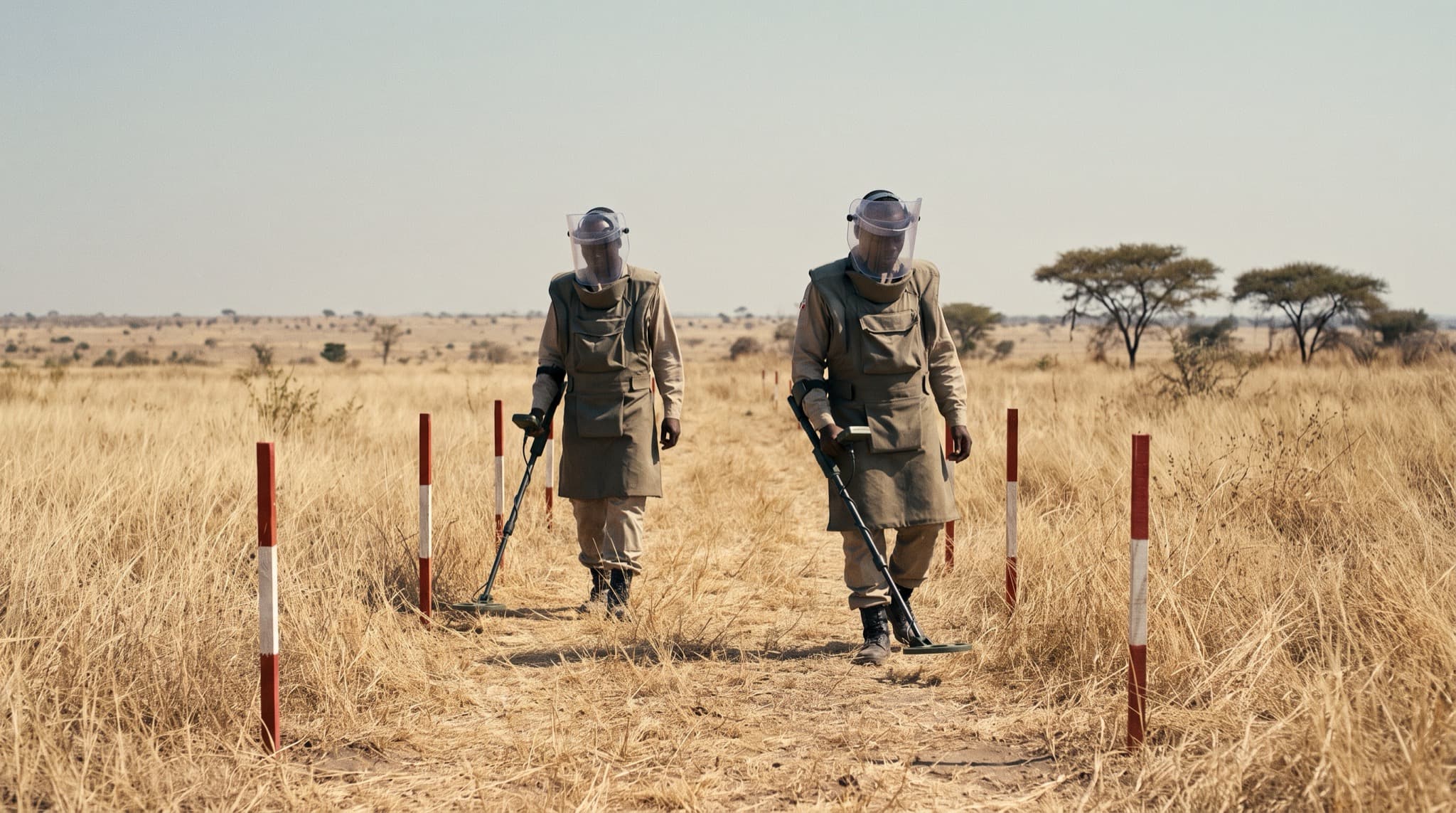
Field operations
All projects →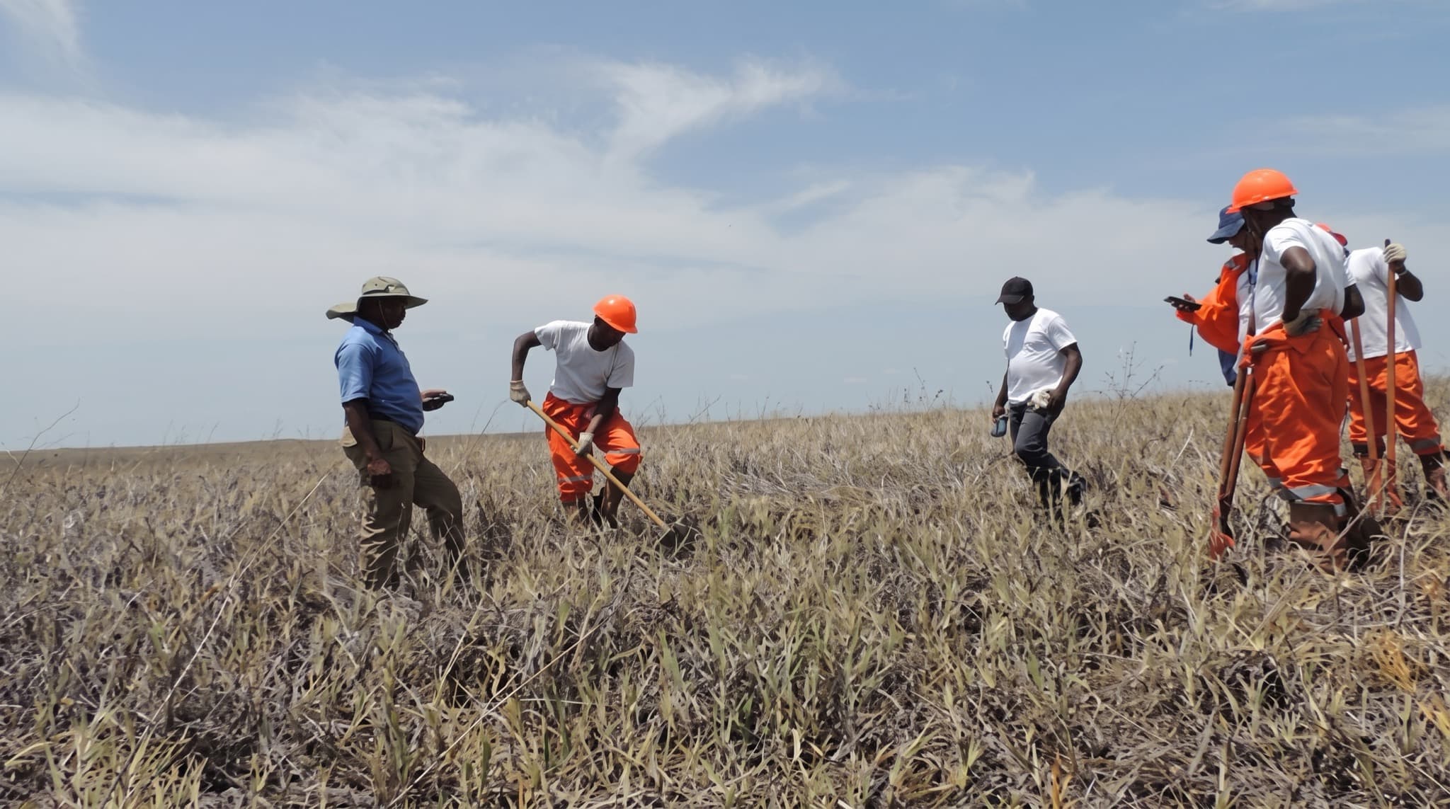
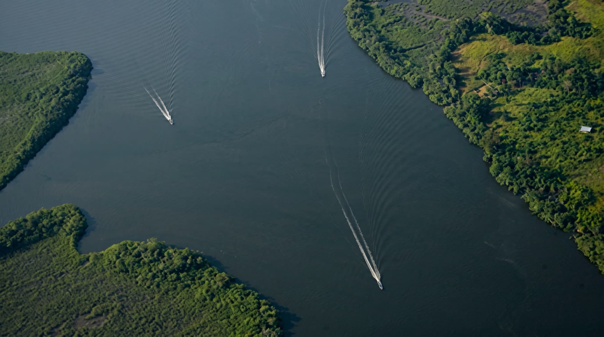
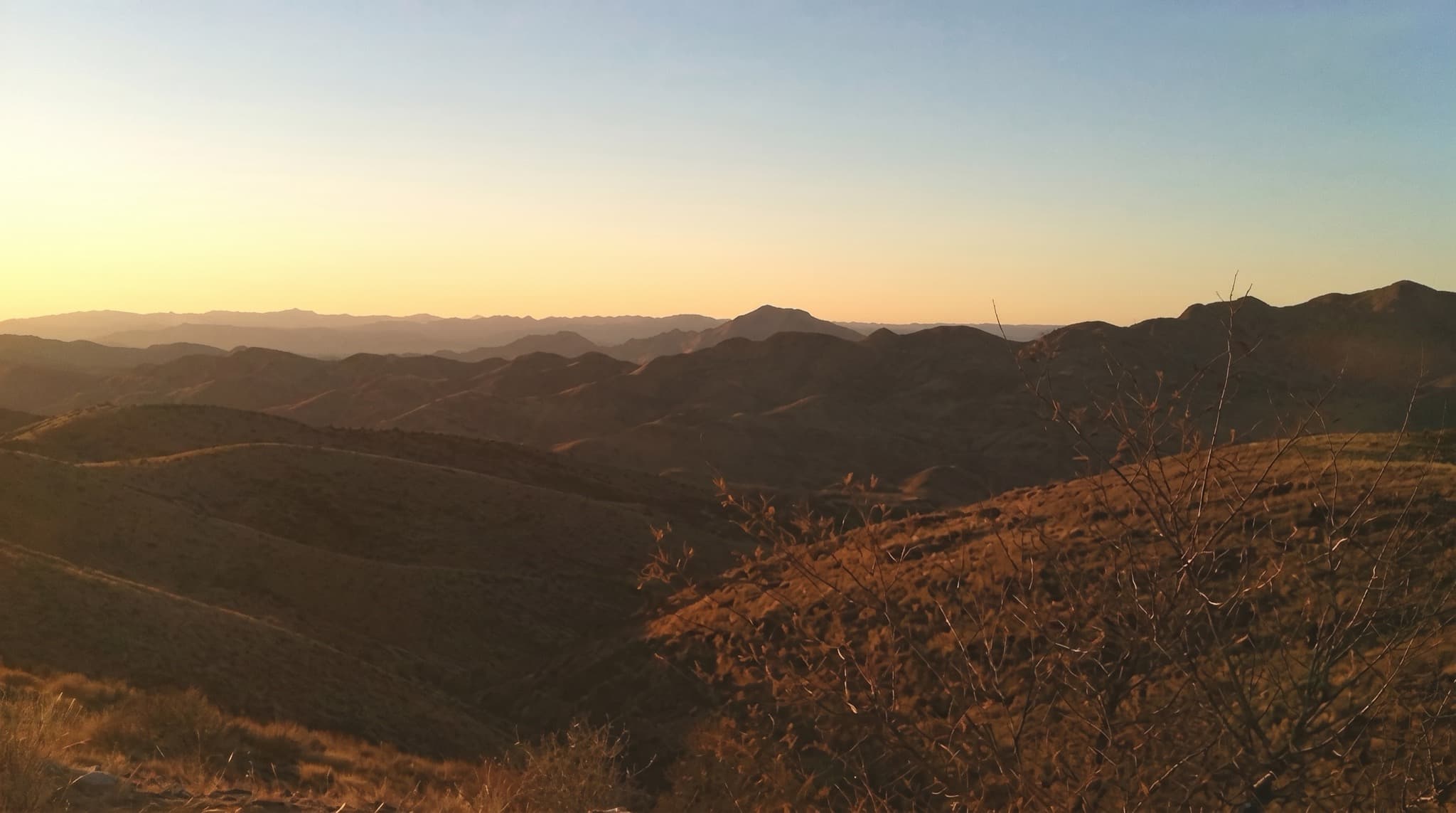
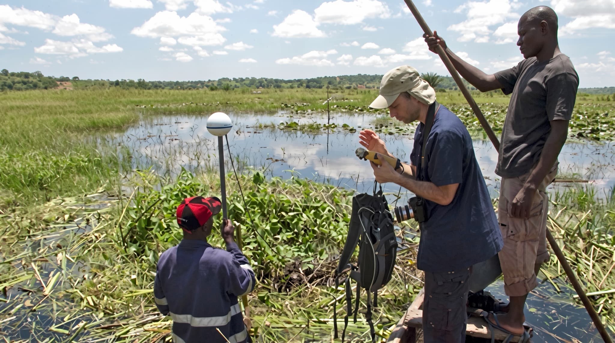
Field reel — shot on operation
01/04
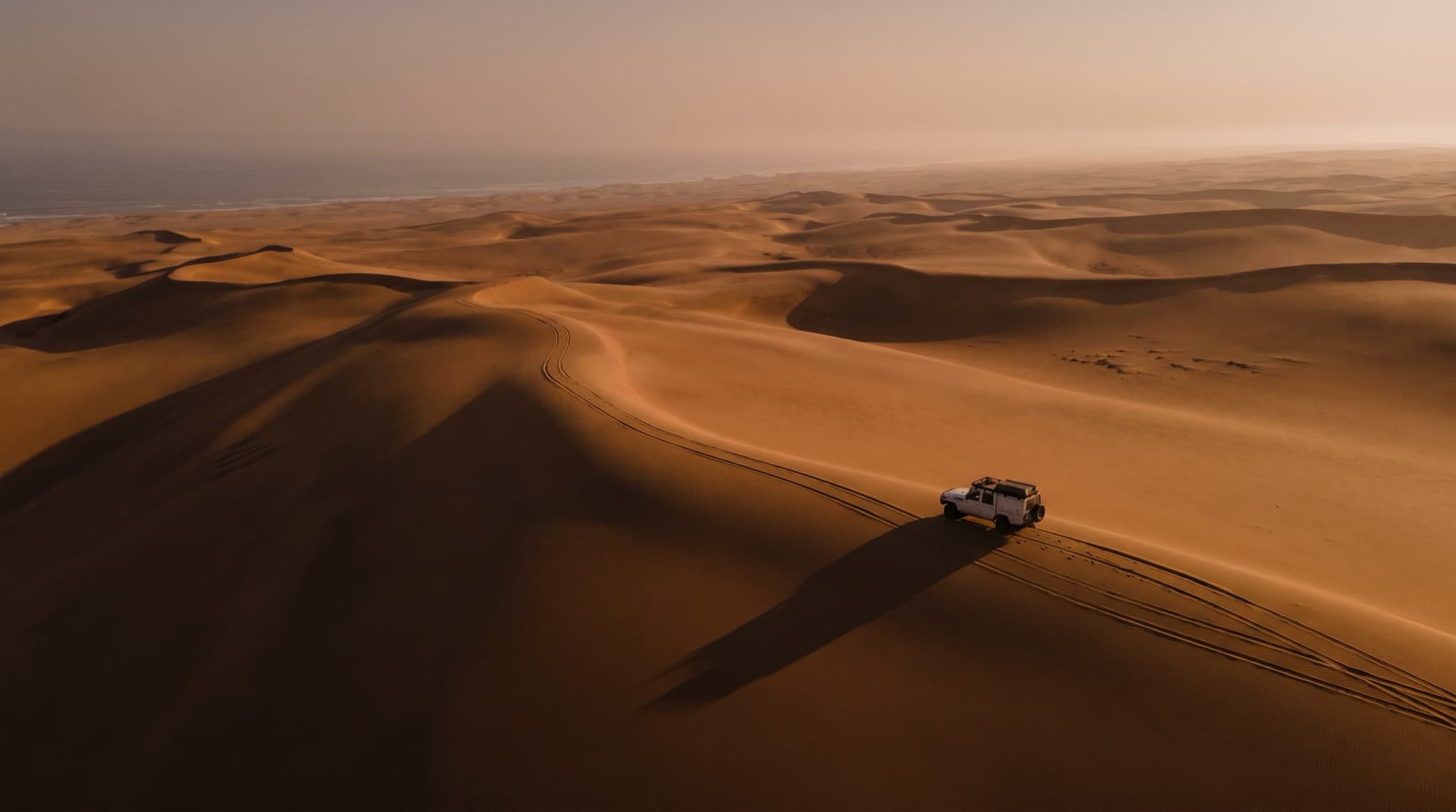
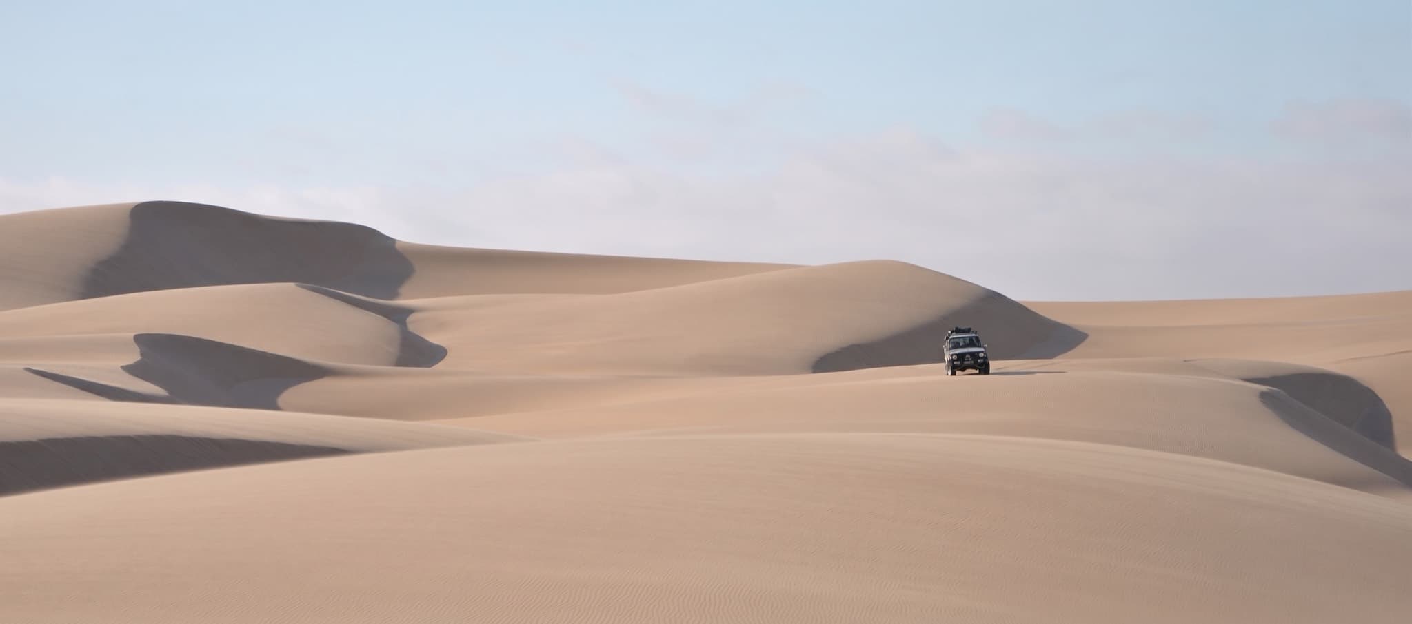
Namibe crossing
Keep scrolling to run the reel — four frames from live operations.
Insight — Web GIS
The field,
on every screen.
Insight is MDVIA's web-based GIS — secure, easy to use and accessible from any platform. Rich in tools and built for decision support, it puts the live project map in front of every stakeholder, in the office or in the field.
- Web based — nothing to install
- Secure, role-based access
- Rich analysis & measurement tools
- Designed for decision support
Layers
- Seismic lines
- Orthophoto 50 cm
- Access routes
- Field camps
- ERW zones
- Cadastre
Progress
19,440 / 27,000 km²
Field log
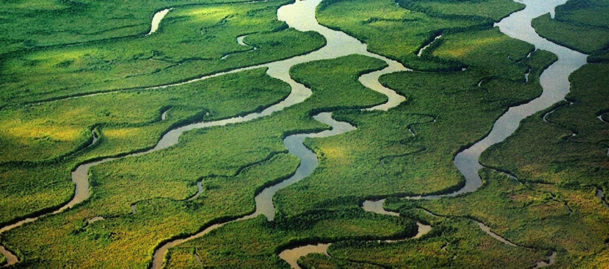
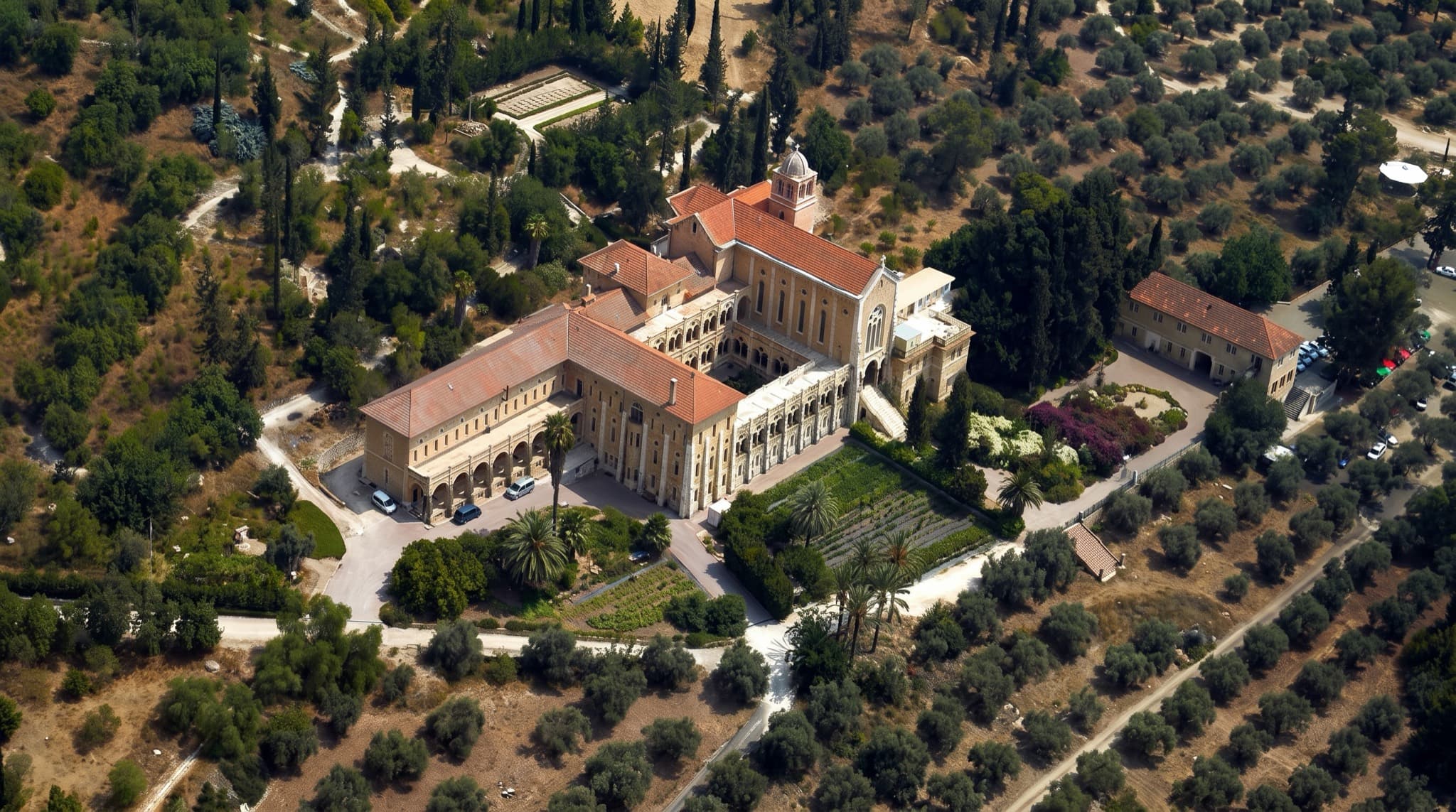
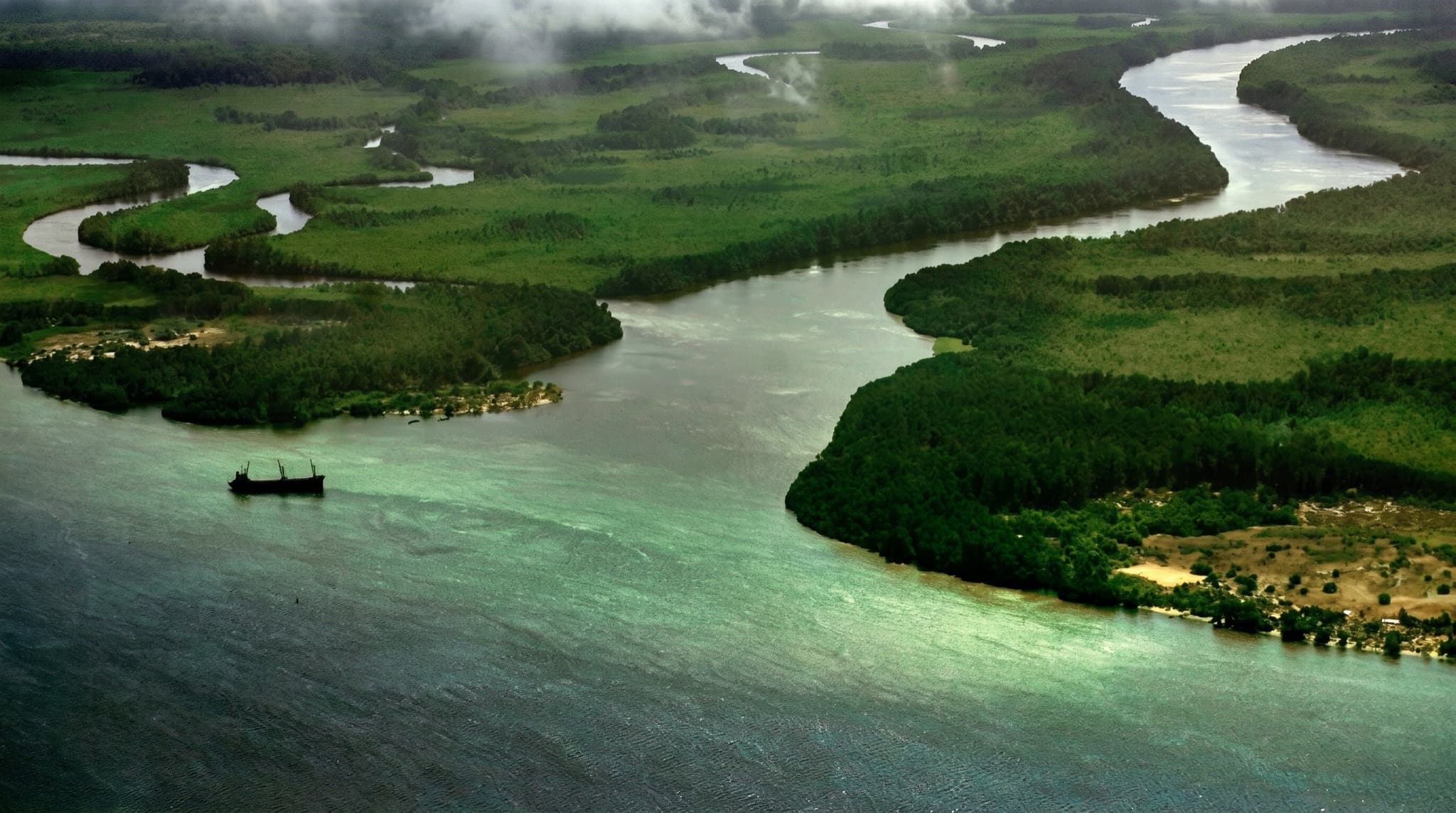
Frames from three decades of operations — drag to scan
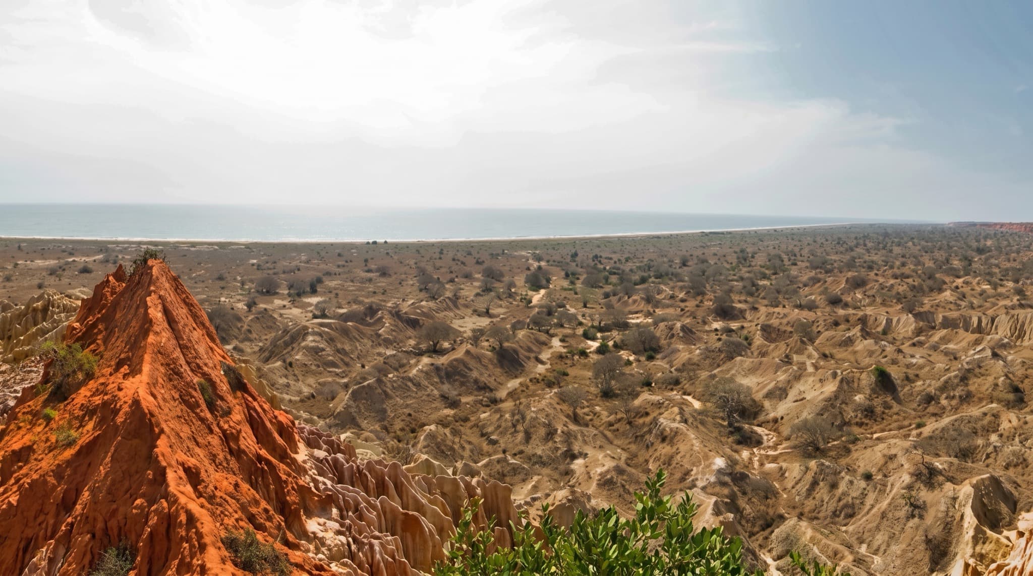

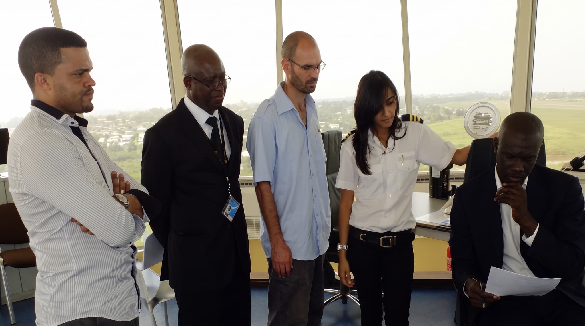
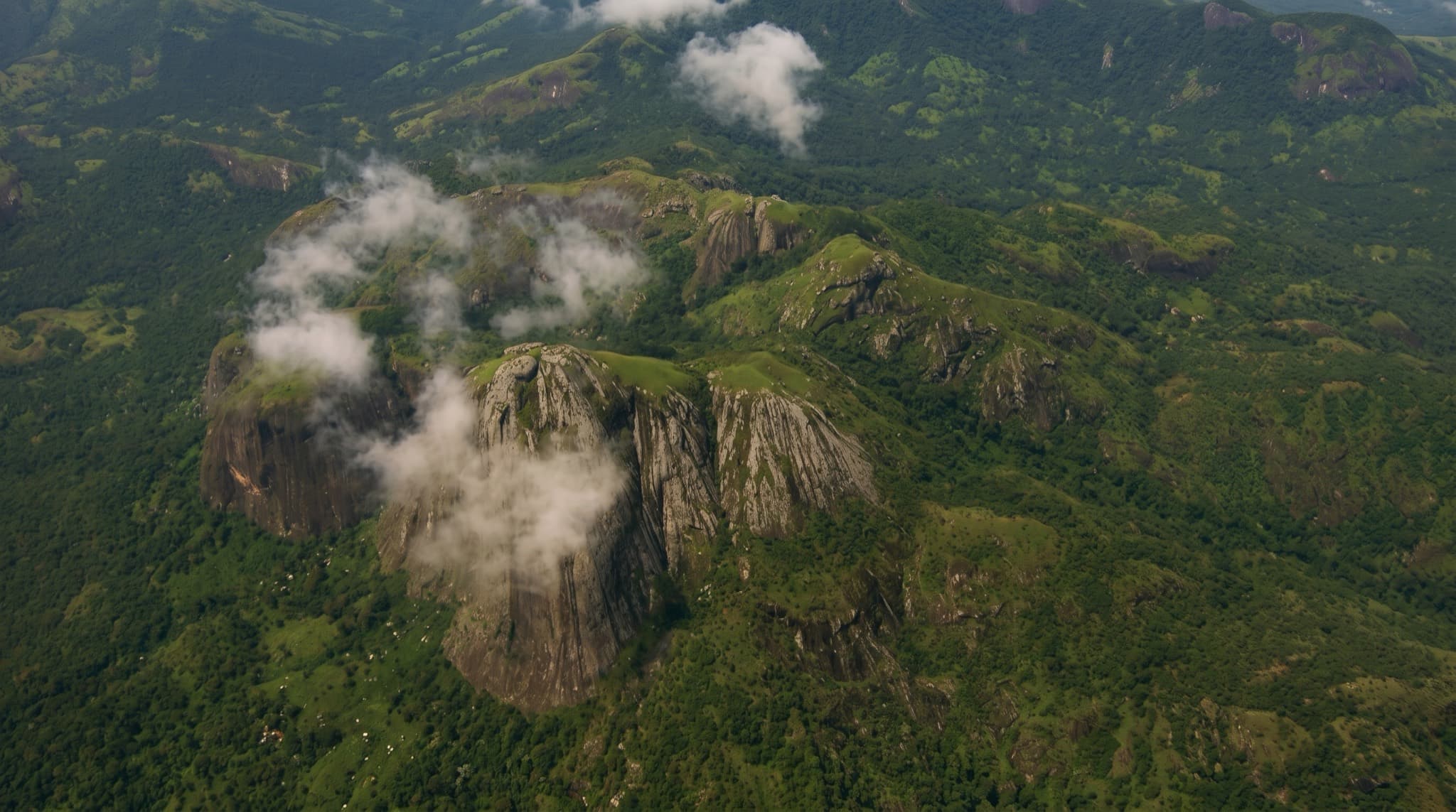
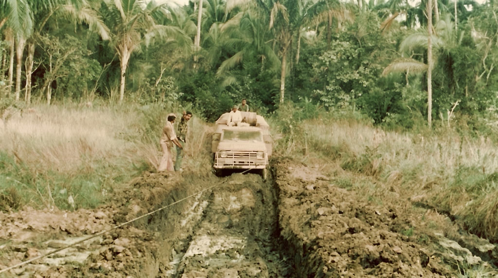
Trusted in the field
National operators, global service companies and engineering groups.

Sonangol

Somoil

Geokinetics

TAHAL Group

GII

SVL

Surestream

Falcon Eye
Start a project
Put your project on the map.
Tel Aviv 32°04′N 34°47′E
+972 3 644 3667
Luanda 8°50′S 13°14′E
+244 222 017 550